- Route
- Lom – Sognefjellet – Turtagrø – Skjolden – Solvorn (Fv 55), with a ferry to Urnes
- Length
- about 130 km (National Tourist Route Sognefjellet, Lom–Gaupne, accounts for 108 km)
- Driving time
- 2.5–3 hours without stops, but plan at least two days
- Recommended number of days
- 2–3, or 3–4 with a side trip to Jostedalen
- Best season
- June–September. The mountain road closes in winter. It usually opens in April or early May and closes again when winter comes — often in November or December.
- Difficulty
- Moderate. High mountains at 1,434 m above sea level, narrow road in places and a long, steep descent from Turtagrø to Fortun. No special motorhome length limit.
- Last checked
- October 2026
Why this route?
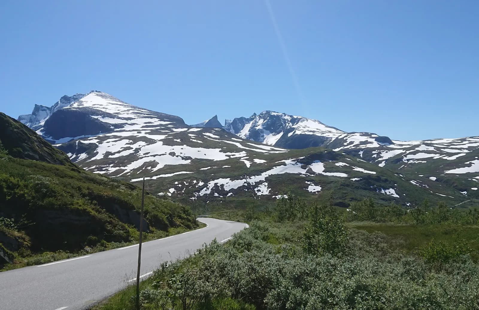
In one day you drive from dry pine woods in Lom, across high mountains where snow remains well into summer, down to orchards beside a green arm of the fjord. Sognefjellsvegen opened to cars in 1938 and is now called Northern Europe's highest mountain pass.
In a motorhome, the gift is the pace. You can sleep at 1,267 metres at Krossbu, rise before the buses and be first at Oscarshaug. The trip ends in Solvorn, where a small ferry takes you to Urnes — considered Norway's oldest surviving stave church.
Stops along the route
1. Lom — stave church and a full tank
The stave church from around 1160 stands just outside the centre, dark with tar, and few stave churches are larger.
Don't miss: Norsk Fjellsenter, with finds released by melting glaciers. And Bakeriet i Lom before the mountains.
Motorhome tip: Fill up and empty the toilet here. There is no fuel station on the almost 80 kilometres to Fortun.
2. Bøverdalen — the side trip towards Galdhøpiggen
At Galdesand, around 20 km from Lom, Galdhøpiggvegen branches uphill to Juvasshytta at 1,840 m above sea level. Trips from there cross the glacier to Galdhøpiggen (2,469 m above sea level), Norway's highest mountain.
Motorhome tip: The toll road is private and climbs almost 1,300 vertical metres. Its terms say the road is for passenger cars only, and caravans are prohibited. With a large motorhome, ask Juvasshytta first or take the bus from Lom during school holidays.
3. Liasanden and Vegaskjelet — the first tourist route stops
No rest area in the entire National Tourist Routes programme was completed before Liasanden, hidden among pine trunks. A couple of kilometres further up, at Vegaskjelet, the valley opens towards the mountains within Jotunheimen.
Motorhome tip: Leave your motorhome in the car park east of the rest area — the forest itself is car-free.
4. Krossbu — high-mountain camping at 1,267 m above sea level
After Bøvertunvatnet the road climbs long slopes, around 11% at the steepest. At the top of the climb lies Krossbu, a mountain lodge welcoming mountain travellers since the early 1900s.
Don't miss: A stretch of the old route across the mountains, where cairns show the way west.
Motorhome tip: Krossbu has high-mountain motorhome camping from the road's opening until mid-September, without advance reservations. Weather and road conditions determine whether it is open.
5. Sognefjellshytta and Mefjellet — on the roof
The highest point at Fantesteinen, 1,434 m above sea level, is near Sognefjellshytta, which serves food in season. A little further west stands Knut Wold's stone sculpture at Mefjellet rest area, with Fannaråken behind.
Don't miss: Mefjellstien, a walking trail from the rest area.
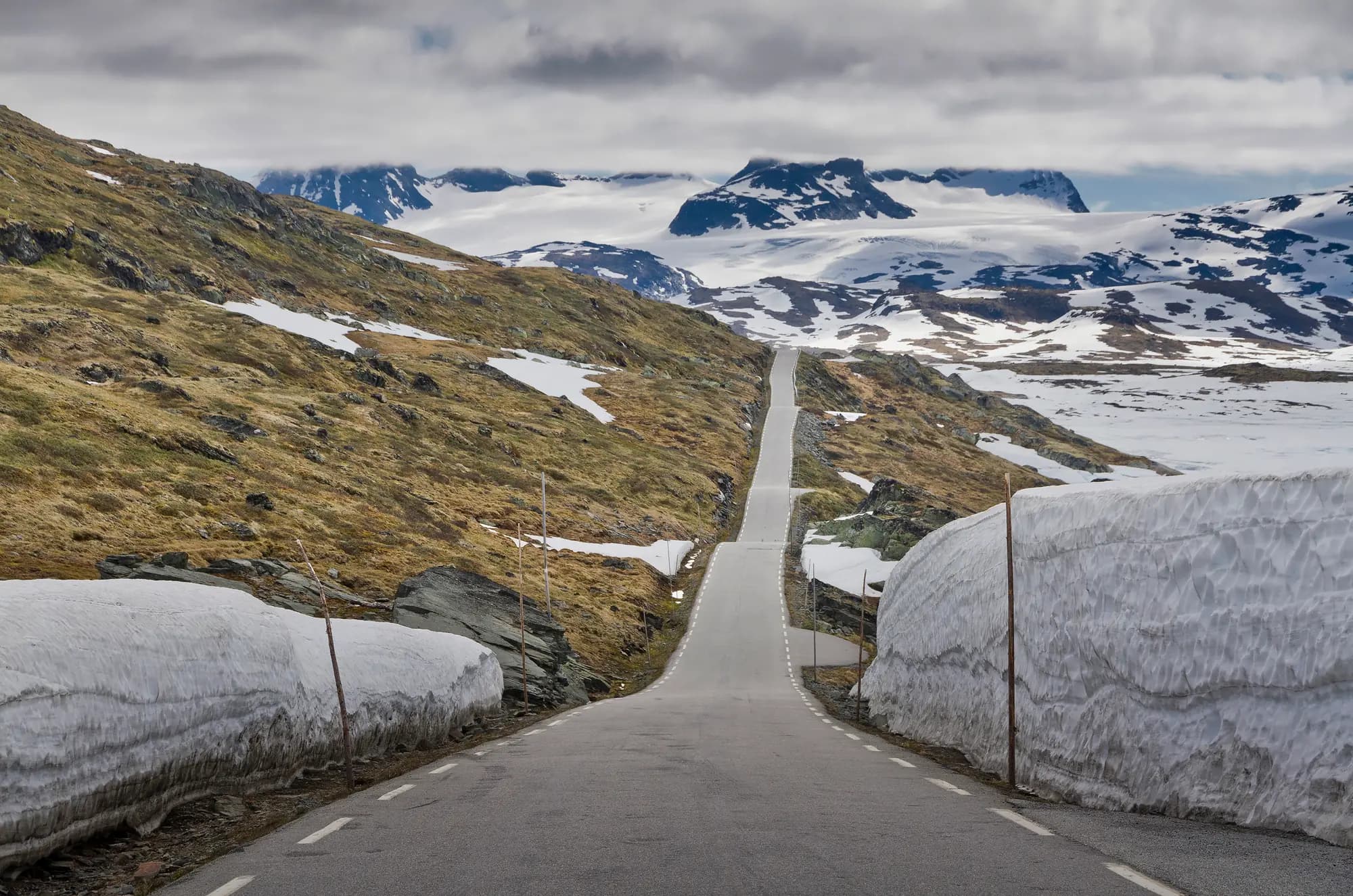
Motorhome tip: Across the mountains the asphalt is mostly 5.5–6 metres wide. Just after opening you drive between high snow banks, and the road may close at night.
6. Oscarshaug and Turtagrø — Hurrungane and the descent
From Oscarshaug you have Hurrungane before you, with Store Skagastølstind (2,405 m above sea level), Norway's third-highest mountain. The place is named after Oscar II, who crossed the mountains in 1860. A little further down lies Turtagrø hotell at 884 m above sea level. Mountaineers have started from here ever since the first hotel arrived in 1888.
Don't miss: Nedre Oscarshaug, where a glass panel with names helps you distinguish the peaks.
Motorhome tip: From Turtagrø to Fortun the road drops around 850 vertical metres in just over ten kilometres. The first seven kilometres average about 9%, with sharp bends, and there are stretches under five metres wide all the way down to Fortun. Use low gear and spare the brakes. St1 in Fortun is the first fuel station since Lom.
7. Skjolden — at the head of Lustrafjorden
Here you are at the very head of Sognefjorden, which is 205 kilometres long. One of Skjolden's best-known guests is philosopher Ludwig Wittgenstein, who had a cabin here from 1914.
Motorhome tip: Vassbakken Kro og Camping, between Skjolden and Fortun, has 14 electric pitches for motorhomes and caravans, but no dump station.
8. Along Lustrafjorden — Dale kirke and Feigefossen
The Fv 55 follows the western side of the fjord through orchards and small villages. In Luster stands Dale kirke, a stone church from around 1250. At Høyheimsvik you see Feigefossen dropping more than 200 metres across the fjord.
Motorhome tip: Along the fjord the road is mostly 5.5–6 metres wide, but has many narrow sections — wait rather than squeeze past. Tunnels are signed at 4.0 metres or more. Viki Fjordcamping in Høyheimsvik has a dump station and a direct view of the waterfall.
9. Solvorn and Urnes — the ferry to the stave church
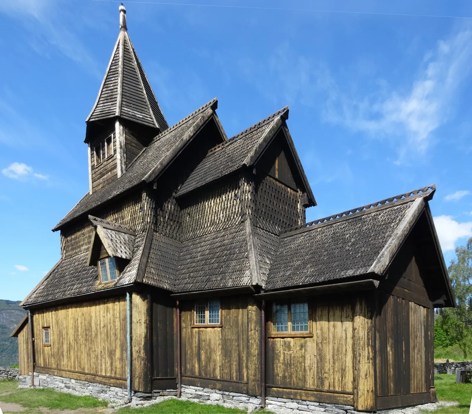
The oldest part of Walaker Hotell in Solvorn dates from around 1650, and the hotel is considered Norway's oldest. The ferry to Ornes has a long tradition — the first ran in 1859. Across the water stands Urnes stavkirke from the early 1130s, on UNESCO's World Heritage List.
Don't miss: The north portal. Its woodcarvings — slender animals intertwined — are so distinctive that an entire style, the Urnes style, is named after the church.
Motorhome tip: The road down to Solvorn is steep, with a short stretch around 12% near the end, and the village is tight. The ferry takes only 11 cars — a large motorhome occupies several spaces. From the quay at Ornes, where there is parking, walk just over a kilometre uphill to the church. The road along the eastern side from Skjolden also goes to Urnes, but has narrow tunnels signed at 3.8 metres. Take the ferry.
Practical info for motorhomes
Roads: The Fv 55 is open to vehicle combinations up to 19.5 metres throughout, so motorhome length is no obstacle. The challenges are altitude, weather and the descent from Turtagrø. The Rustasætre/Vegaskjelet–Turtagrø mountain stretch closes in winter and may close at short notice after opening too. Check vegvesen.no or call 175.
Parking: Rest areas along the tourist route have parking. Solvorn is the tightest.
Overnight stays: The Outdoor Recreation Act's rules — at least 150 metres from inhabited houses, maximum two nights — apply to tents, but are a useful guide for motorhomes. Otherwise signs and the landowner determine where you can stay. Do not drive into the terrain.
Campsites:
- Lom Camping — just west of the centre, along the Fv 55
- Nordal Turistsenter — central Lom
- Krossbu — high-mountain camping at 1,267 m above sea level, from road opening to mid-September
- Vassbakken Kro og Camping — between Skjolden and Fortun
- Dalsøren Camping — by the fjord in Luster
- Viki Fjordcamping — Høyheimsvik, with a dump station
Fuel: Fill up in Lom. The next station is St1 in Fortun, almost 80 km later. Near Solvorn there are stations at Hafslo.
Waste disposal: Dump stations in Lom and Gaupne and at Viki Fjordcamping — not in toilets along the tourist route.
Ferries: None on the mountain road. Solvorn–Ornes (Lustrabaatane) takes around 20 minutes and runs all year. Buy tickets aboard; spaces cannot be reserved. The winter timetable (1 October–30 April) has few departures, some only on request — check the last return from Ornes. Timetables at lustrabaatane.no.
Combine with
- Trollstigen and Geirangerfjorden — west from Lom along the Rv 15 and Fv 63 down to Geiranger, around 100 km.
- Rondane and Peer Gynt — east from Lom to Otta, just over an hour.
- Fjærland and Jostedalsbreen — Jostedalen and Nigardsbreen: from Gaupne it is just over 30 km up the valley to Breheimsenteret, beside one of Norway's most accessible glaciers.
- Valdres and Valdresflye — Vågå, where that route ends, lies around 30 km east of Lom.
Weather
Lom lies in the rain shadow behind the mountains. In 1911 only 130 millimetres of precipitation fell here, lower than anywhere else in Norway has measured in a year. At 1,400 m above sea level, fog and snow may arrive in midsummer — bring warm clothes. Down by Lustrafjorden it is mild enough for fruit and berries. Check yr.no for “Fv. 55 Sognefjellet”, with forecasts for Lom, Sognefjellshytta and Hervavatn in one place.
This route is part of Bobilvei's hand-picked motorhome routes in Norway. Every route is quality-checked with a focus on motorhome suitability, parking and local experiences.