- Route
- Kongsvinger – Brandval – Grue kirke and Kirkenær – Svullrya – Finnskogvegen – Gjesåssjøen – Flisa – Våler – Elverum (Rv 2, Fv 201, Fv 1869, Fv 206 and Fv 2088)
- Length
- about 175 km from Kongsvinger fortress to Elverum, including the 6 km or so in to Gjesåsen church and back. The direct road along the Glomma is just over 90 km, so Finnskogen is a detour of around 80 km. From Oslo to Kongsvinger it is about 90 km on the E6 and E16.
- Driving time
- Around 3 hours without stops
- Recommended number of days
- 2–3
- Best season
- May–September. The roads are open all year, but the fortress museum in Kongsvinger is only open in the summer half of the year, and Finnetunet's summer opening runs only to the end of August. The Norwegian Forest Finn Museum at Svullrya is open all year.
- Difficulty
- Easy. Sealed roads all the way, no mountain passes and no ferries. The Fv 1869 through Finnskogen is narrower and mostly has a thin surface, and between Kirkenær and Flisa there are around 90 km through the forest with almost no services.
- Last checked
- October 2026
Why this route?
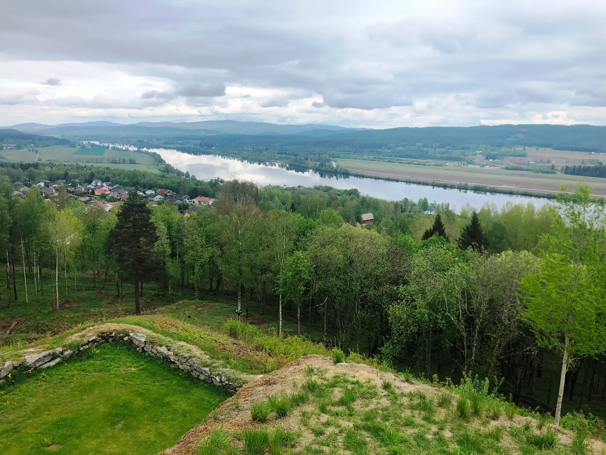
The Glomma flows slowly south through Solør, in great loops between fields and forest, and turns west at Kongsvinger. The farms and villages lie along the river. Drive east from the river and you enter Finnskogen, which reaches all the way to the Swedish border: forest, bog and small lakes, and a long way between hamlets.
This is where the Forest Finns settled in the 1600s. They came from Finland by way of Sweden and cleared land with axe and fire. Their story is told at Svullrya, in a new museum and in old smoke cabins. The route follows the Glomma for a while, takes you east into the forest and north along the border, and comes back down to the river at Flisa. It ends in Elverum, where Femunden and Engerdal takes over.
This is not a trip with one big sight after another. It is a quiet drive, with long stretches where it is just you and the spruce forest.
Stops along the route
1. Kongsvinger — the fortress above the river
On the height above the town and the Glomma stands the fortress, laid out from 1681–82. It was meant to stop an enemy advancing from Värmland towards Christiania, because the river alone was not enough to hold an army back. The fortress was never attacked directly, and today it is one of Norway's 14 national fortifications. The grounds are open and free all year. The fortress museum covers defence history from the Viking Age to the present, and is usually open every day from May to August and at weekends in April and September.
Don't miss: The view from the ramparts over the town and the river, north towards Solør.
Motorhome tip: The Fv 2022 takes you the last 400 metres up to the fortress. It is narrow, mostly five to six metres, but open to vehicles up to 19.5 metres long. The map data shows free parking up by the fortress; have a look at the space before you drive in with a long motorhome. Otherwise Kongsvinger has no dedicated motorhome site: according to the local paper Glåmdalen, the municipal one in Arkovegen closed in August 2025, and in summer 2026 there was no waste disposal point in town either. If you want to sleep before you set off, Sjøstrand Camping by Sigernessjøen, around 13 km south of town, has motorhome pitches with electricity and emptying for toilets and grey water.
2. Grue kirke — the fire of 1822
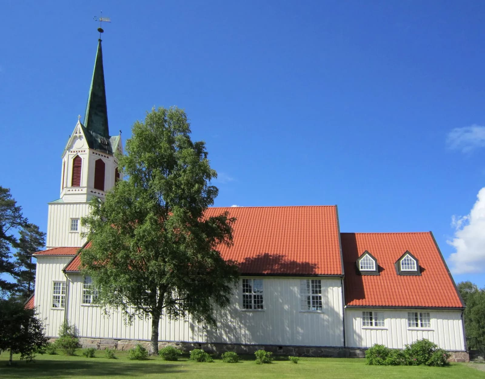
From Kongsvinger you follow the Rv 2 north on the east side of the Glomma, past Brandval, to Kirkenær, the centre of Grue. Through Grue the river has almost no fall, and it lies in one loop after another. Close to Kirkenær stands Grue kirke, a stone church designed by Linstow and consecrated in 1828. It replaced a wooden church that stood further north, closer to the river.
On Whit Sunday, 26 May 1822, the old church caught fire during the service. Officially 113 people died; some sources say 116 or 117. No known fire on Norwegian soil has claimed more lives. Most of the dead were women and children, and at least 45 were under 16. Many were sitting in the gallery. The doors opened inwards, and when they stood open they blocked the stairs down from it, and the crush at the exits made it almost impossible to get out. What started the fire was never established. After the disaster came the requirement that church doors must open outwards.
Don't miss: The memorial stone to the dead, which stands by the church.
Motorhome tip: The map data shows several car parks around the church. Fill up in Kirkenær: from here to Flisa it is around 90 km through the forest. The map data shows a station at Svullrya, but we have not been able to confirm it, so do not count on fuel before Flisa.
3. Svullrya — the Forest Finn museum
The Fv 201, Finnskogvegen, runs east from Kirkenær, first through fields and then into the forest. After around 15 km you pass Finnskogen Turist og Villmarksenter by the lake Skasen, and after around 25 km you are in Svullrya, the centre of Grue Finnskog.
The Forest Finns came from eastern Finland. They moved first to Sweden towards the end of the 1500s and on into Norway from the 1640s. They practised slash-and-burn farming: the forest was cleared with fire, and the rye was sown straight into the ash. It needed large areas of forest. The family lived in the smoke cabin, heated by a stove with no chimney. Norway today counts the Forest Finns as a national minority, a status they gained in 1998. The Norwegian Forest Finn Museum got a new building at Svullrya, opened by Queen Sonja in October 2025. It is open all year, Tuesday–Sunday, and the café serves motti and flesk among other things. Grue Finnskog church also stands in Svullrya.
Don't miss: Finnetunet, right by the Rotna bridge on the west side of Svullrya. The 13 houses in the farmyard come from farms in Grue Finnskog and Brandval Finnskog. Here you can see a smoke cabin, a smoke sauna and a drying house, the three types of building heated with a smoke stove, and according to the museum few museums in Scandinavia have all three. You can walk round the farmyard at any time of year without paying. The summer opening usually lasts until the end of August, and you book a guided tour by e-mail.
Motorhome tip: Finnskogen Kro og Motell, a few hundred metres from the museum, offers year-round camping with electricity and use of the sanitary block. If you would rather sleep by a lake, Finnskogen Turist og Villmarksenter by Skasen has motorhome pitches with electricity. Contact either of them before you come outside the summer.
4. Finnskogvegen — north along the border
From Svullrya you follow the Fv 201 east for around three kilometres and turn north onto the Fv 1869. It is also called Finnskogvegen and runs for around 40 km through Grue Finnskog and Åsnes Finnskog, at its closest a couple of kilometres from the Swedish border, until it meets the Fv 206 around three kilometres north-west of Valby. This is forest, bog and tarns, with farms and hamlets far apart.
Don't miss: A detour to Vermundsjøen. From Valby it is around 11 km. The largest settlement in Åsnes Finnskog lies round the lake, and Åsnes Finnskog church stands at its northern end.
Motorhome tip: The whole of the Fv 1869 is sealed and open to vehicles up to 19.5 metres long, but the surface is mostly thin, and the road is around six metres wide. At Valby you cross a bridge with a signed height of 4.5 metres, and it is only 4.4 metres wide: wait if you meet someone. Your satnav may suggest the Fv 2090, Peistorpvegen, north from Peistorp towards the Fv 206: it has around three kilometres of gravel. Stay on the Fv 1869 and Fv 206 instead. If you turn off onto a forest road, it is usually gravel and not made for motorhomes.
5. Gjesåssjøen — the bird lake
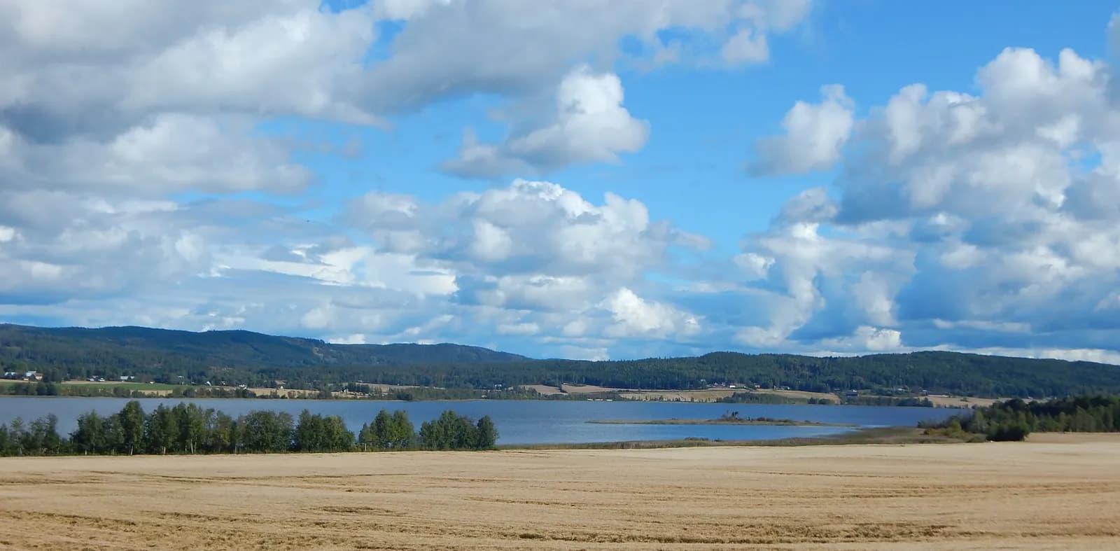
The Fv 206 heads west and down towards the Glomma again. Just before Kjellmyra the Fv 2088 turns off towards Gjesåsen, and after three kilometres you are at Gjesåsen church, on the east side of Gjesåssjøen. The lake covers around four square kilometres, shallow and rich in nutrients, with fields around it. It became a nature reserve in 2002. Around 160 bird species have been recorded here, and in the whole of the old county of Hedmark probably only Åkersvika at Hamar has more species of wetland bird. The great crested grebe breeds here regularly, and cranes are often seen.
Don't miss: Your binoculars. On a still morning in May or June there is most life on the water.
Motorhome tip: The Fv 2088 is around six and a half metres wide and open to large vehicles. Drive back the same way to the Fv 206 and on south to Flisa, around 12 km in all. Your satnav may choose the Fv 2086 Smørbølsmoen and the Fv 2084 Vestre Gjesåsveg, which are narrower and have a narrow bridge just south of Kjellmyra. Only stop where there is room, never in farm entrances. In the reserve, camping and tents are forbidden, dogs must be on a lead, and you may not drive motor vehicles there. Keep your distance from the birds.
6. Flisa — the timber bridge over the Glomma
Flisa is the centre of Åsnes and lies where the river Flisa flows into the Glomma. Just south of the centre, the Fv 206 crosses the Glomma on Flisa bru, opened in 2003. It is built of glued laminated timber, almost 200 metres long, with a main span of 70 metres. The bridge stands on the foundations of a steel bridge from 1912, and is considered the world's longest timber bridge built for full traffic loads.
Don't miss: A walk across the bridge. It has its own footway, and from the middle you look straight into the trusses.
Motorhome tip: Flisa has several filling stations and shops, and the map data shows plenty of car parks in the centre. If you drive across the bridge, it has a signed height of 5.8 metres.
7. Våler — the church that burned
From Flisa you follow the Rv 2 north along the Glomma for around 13 km to Våler. The old church here burned down one night at the end of May 2009. Six years later, on Whit Sunday 2015, a new church was consecrated just east of the site. Espen Surnevik designed it, in steel and untreated heartwood pine.
Motorhome tip: There is a filling station in the centre of Våler. If you drive in to the church on the Fv 2100, you pass under the railway, signed at 4.5 metres. From here it is around 30 km on the Rv 2 to Elverum.
8. Elverum — where the Femunden route begins
The Rv 2 follows the Glomma further north, through forest and fields, to Elverum. The route ends at the Norwegian Forest Museum, which is described in Femunden and Engerdal. That route starts here and heads east towards Trysil.
Motorhome tip: Elverum Camping lies by the Glomma, just south of the centre. You turn up with your motorhome without booking, and the site is open all year except during the spring thaw.
Practical info for motorhomes
Roads: The Rv 2, Fv 201, Fv 1869, Fv 206 and Fv 2088 are open to vehicles up to 19.5 metres long (Statens vegvesen's road database). All are sealed. The Rv 2 is around eight metres wide, the Fv 201 around six and a half and the Fv 1869 just over six. The Fv 1869 mostly has a thin surface (surface dressing), and the bridge at Valby is only 4.4 metres wide. The lowest signed height on the route is 4.5 metres: Valby bridge on the Fv 1869 and the railway underpass on the Fv 2100 by Våler church. On the Rv 2 no underpass is signed, but several have a calculated clearance of 4.5–4.6 metres. You will find gravel on the Fv 2090 Peistorpvegen (around three kilometres) and on the forest roads. There are no mountain passes and no roads closed in winter, but in winter it is a long way between people in Finnskogen. Check vegvesen.no/trafikk or call 175.
Tolls: The route itself has no toll points. Coming from Oslo, you pay in the Oslo toll ring and on the E16 at Åsum, just west of Kongsvinger (Vegfinans E16 Kongsvingervegen). Driving from Elverum towards Hamar, you pay on the Rv 3/25 west of Elverum (Vegfinans Rv3 og Rv25 Hamar–Elverum). Both are AutoPASS toll points.
Parking: At Kongsvinger fortress the map data shows free parking at the top, and there is parking by Grue kirke and in the centre of Flisa. Kongsvinger has no dedicated motorhome parking. At Svullrya it is easiest to stay at Finnskogen Kro og Motell and walk to the museum. Never park in passing places or in the entrances to forest roads.
Overnight stays: The Outdoor Recreation Act lets you pitch a tent on uncultivated land at least 150 metres from an inhabited house or cabin, for at most two nights in the same place without the landowner's consent. It gives no right to park a motorhome; there, signs and the landowner's rules apply. Never drive off the road, and respect the protection rules at Gjesåssjøen. There are few campsites along the route, and none in central Kongsvinger or in Flisa, so plan your nights.
Campsites:
- Sjøstrand Camping — by Sigernessjøen, around 13 km south of Kongsvinger, motorhome pitches with electricity and emptying
- Finnskogen Turist og Villmarksenter — by Skasen, on the Fv 201 between Kirkenær and Svullrya, motorhome pitches with electricity
- Finnskogen Kro og Motell — in Svullrya, year-round camping with electricity
- Elverum Camping — by the Glomma in Elverum, no booking, open all year except during the thaw
Fuel: Kongsvinger has plenty of stations, and there are stations at Brandval and in Kirkenær. Fill up in Kirkenær before you head into Finnskogen. The map data shows a station at Svullrya, but we have not been able to confirm it. The next sure station is in Flisa, around 90 km from Kirkenær by the forest route. After that there are stations in Våler, at Braskereidfoss and in Elverum.
Waste disposal: We have not found a public waste disposal point along the route, and central Kongsvinger has none. Sjøstrand Camping south of Kongsvinger has its own room for emptying toilets and a drain for grey water. Campercontact lists grey water and toilet emptying at Elverum Camping, but the campsite's own pages do not mention it, so ask at reception. Empty before you leave the Oslo area, and ask the campsites you stay at.
Ferries: None.
Combine with
- Femunden and Engerdal — starts in Elverum, where this route ends, and carries on east towards Trysil and Femunden.
- Around Lake Mjøsa — from Elverum it is 31 km to Hamar.
- Hvaler and Fredrikstad — where the Glomma meets the sea, a drive of around 180 km south from Kongsvinger.
- The Halden Canal and Indre Østfold — further south along the Swedish border.
- Värmland in Sweden — the Fv 206 carries on east from Vermundsjøen across the border.
Weather
Solør has an inland climate, with fairly warm summers and cold winters. At Flisa the July average is around 17 degrees over the day and night, and January is almost minus six. Around 670 millimetres of rain falls in a normal year, most in August and least in March. Check yr.no for Kongsvinger, Svullrya and Flisa.
This route is part of Bobilvei's hand-picked motorhome routes in Norway. Every route is quality-checked with a focus on motorhome suitability, parking and local experiences.