- Route
- Gudvangen – Undredal – Flåm – Aurlandsvangen – Stegastein – Aurlandsfjellet (Fv 5627) – Lærdalsøyri – Borgund
- Length
- about 120 km including the detour to Undredal. The mountain road from Aurlandsvangen to Lærdalsøyri accounts for 47 km.
- Driving time
- 2.5–3 hours without stops, but allow at least two days
- Recommended number of days
- 2–3, or another day with Flåmsbana
- Best season
- June–September. The mountain road closes for winter. It usually opens in May or early June and closes again in October or early November. Check vegvesen.no before driving.
- Difficulty
- Challenging. A narrow, steep, winding mountain road with passing places, a 12.4-metre length limit and heavy summer traffic at Stegastein.
- Last checked
- October 2026
Why this route?
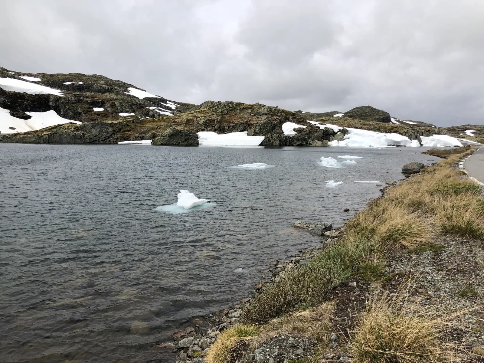
In just over a hundred kilometres you get a UNESCO World Heritage fjord, Flåmsbana and two stave churches: Scandinavia's smallest still in use, in Undredal, and Borgund, regarded as Norway's best preserved. Between them lies Aurlandsfjellet, where snow can stand like walls beside the asphalt well into June.
The route runs west to east deliberately. Statens vegvesen asks drivers heading up to Stegastein to continue over the mountain to Lærdal rather than turn around. That means fewer vehicles meeting on the narrowest stretch.
Stops along the route
1. Gudvangen — where Nærøyfjorden ends
Nærøyfjorden joined UNESCO's World Heritage List in 2005, together with Geirangerfjorden. South of Bakka you can almost shout across the fjord: it is less than half a kilometre wide there. Gudvangen lies at its head, and from the village you can see Kjelfossen in the mountains to the east.
Don't miss: The Viking village Njardarheimr in Viking Valley, open all year.
Motorhome tip: Fill up and empty your toilet here — this is the nearest dump station to the scenic route.
2. Undredal — goat's cheese and a church seating 40
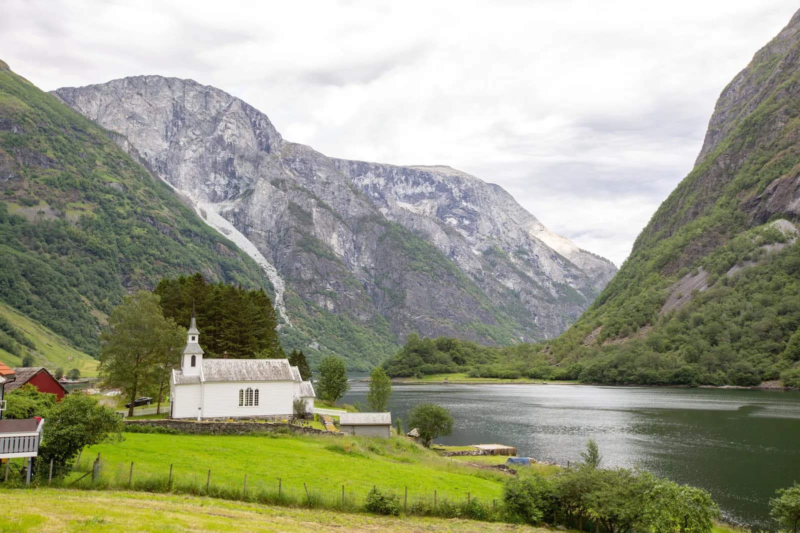
Between the two long tunnels on the E16, a side road branches off at Langhuso down to Undredal. The road did not reach the village until 1988. With 40 people on its benches, the stave church is full — no smaller stave church in Scandinavia still holds services.
Don't miss: The village's famous goat's cheese, both brown and white.
Motorhome tip: The road has no separate length limit, but it is narrow: over two-thirds of the six kilometres are less than five metres wide. Use the passing places and engine braking — you descend more than 300 metres. There are only a few small car parks in the village, and parking in the turning area at the end is forbidden — with a large motorhome, you cannot count on finding room.
3. Flåm — trains and cruise ships
Flenjatunnelen descends for five kilometres at around 6 % — use engine braking. From Flåm at the head of Aurlandsfjorden, Flåmsbana climbs 865 metres to Myrdal in about an hour. Large cruise ships dock by the station, making it busy.
Don't miss: Flåmsbana — leave the motorhome parked and take the train.
Motorhome tip: Parking in the centre costs money, and Aurland's local police by-law bans camping on and beside roads and open spaces in built-up areas unless signs say otherwise. Stay at Flaam Camping & Hostel, centrally located in the village. Most pitches are on terraces on the hillside; a small motorhome may fit at the bottom in the orchard.
4. Aurlandsvangen — Sognedomen
People call the stone church at Vangen Sognedomen: no medieval church in Sogn is larger, and it was probably built in the 13th century.
Motorhome tip: Fill up here — there is no fuel station on the 47 kilometres to Lærdalsøyri. Lunde Camping, just outside the centre, has 80 pitches, most beside the river and with electricity.
5. Stegastein — 650 metres straight down
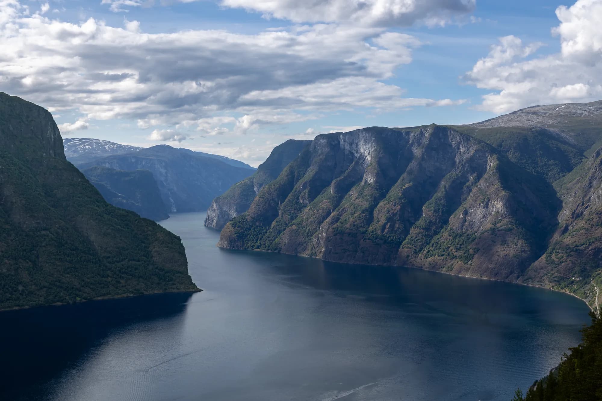
About eight kilometres uphill from the centre, a platform projects 30 metres into the air and ends in glass, around 650 metres directly above the fjord. It opened in 2006 and was designed by Todd Saunders and Tommie Wilhelmsen. Stegastein is open all year, even when the mountain road is closed.
Don't miss: The morning. Arrive early to avoid the worst queues.
Motorhome tip: The road up is steep, winding and narrow — over a third is less than four metres wide, and over 30 signs mark passing places. The car park has been extended, but charges apply, stays are limited to half an hour and spaces are designed for cars. If there is no room for a long motorhome, continue over the mountain when it is open. In July 2026, a pilot scheme let motorhomes park at the sports ground in Aurland and take a shuttle bus up. Check whether it is running again.
6. Snøvegen — across the mountain at 1,300 metres
The road continues climbing up Kvammadalen, reaching its highest point at around 1,300 metres. Early in summer, the ploughed snowbanks can be higher than the vehicle.
Don't miss: The Flotane rest area. Its toilet runs on solar power and is open from mid-June.
Motorhome tip: Across the top the road is wider, mostly 5–6 metres. Shortly after the spring opening, the mountain road sometimes closes at night and in bad weather.
7. Vedahaugane and Erdalen — down towards Lærdal
As the road begins descending, you reach Vedahaugane. Follow the walkway away from the road to Mark Dion's artwork “Den”. From here you look towards Jotunheimen. Then the road winds down Erdalen, bend after bend.
Motorhome tip: A sign warns of an 8 % descent over eight kilometres. Select a low gear to spare your brakes. Down Erdalen the road narrows again — three-quarters is less than five metres wide — with passing bays along the edge.
8. Lærdalsøyri — wooden houses by the river
Gamleøyri is a whole neighbourhood of 18th- and 19th-century wooden houses, and much of the river delta is protected. Salmon have made Lærdalselva famous among anglers.
Don't miss: An evening walk through the lanes.
Motorhome tip: Raubergtunnelen just before Lærdalsøyri has a signed height of 4.0 metres. Lærdal Ferie- og Fritidspark lies by the fjord, with around 100 pitches, 80 with electricity.
9. Borgund stave church — the dragons of Lærdalsdalen
Follow the E16 up Lærdalsdalen for half an hour. Tree rings in the timber show that the trees for Borgund stave church were felled in winter 1180–81. Many regard it as the best-preserved stave church in Norway, and it served as the model when Hopperstad and Gol were restored.
Don't miss: Vindhellavegen, where the old Kongevegen over Filefjell winds up Skaret between walls that are twelve metres high in places.
Motorhome tip: Borgund Hyttesenter og Camping is beside the E16, 2.5 km from the church.
Practical info for motorhomes
Roads: The mountain road is Fv 5627 (Fv 243 before 2020). From Aurlandsvangen to Erdal it has a length limit of 12.4 metres. This applies to the whole combination, including a motorhome towing a car. The road closes for winter, with varying dates: previously it has closed between 7 October and 6 November and opened between 7 May and 3 June. The year-round route is the E16 through Gudvangatunnelen (11.4 km) and Flenjatunnelen (5.1 km), both signed at 4.2 metres, and Lærdalstunnelen (24.5 km), the world's longest road tunnel. From 16 November 2026 and for around two years, Lærdalstunnelen closes every night from 18:00 to 06:00, except Saturday night into Sunday. If you miss the tunnel before 18:00, the detour takes several hours. In spring the mountain road may also close at night — plan to be across before evening. Check vegvesen.no/trafikk or call 175.
Parking: Stegastein: half an hour maximum. Parking in central Flåm is paid.
Overnight stays: The Outdoor Recreation Act's rules for tents on uncultivated land — at least 150 metres from inhabited houses, two nights maximum — are a good guideline for motorhomes. Use campsites and never drive off-road into the terrain.
Campsites:
- Gudvangen Camping — 800 metres from the quay, with a dump station
- Vang Camping — Gudvangen, beside Nærøyfjorden
- Flaam Camping & Hostel — central Flåm, water and grey-water disposal
- Lunde Camping — Aurland, 1 April–1 October
- Lærdal Ferie- og Fritidspark — beside the fjord in Lærdalsøyri
- Borgund Hyttesenter og Camping — beside the E16, near the stave church
Fuel: Gudvangen, Aurlandsvangen and Lærdalsøyri. No fuel station over the mountain.
Waste disposal: Not in toilets along the scenic route. Statens vegvesen refers visitors to Gudvangen, and Gudvangen Camping has its own dump station.
Ferries: None on the route itself. In summer a tourist car ferry sails from Gudvangen through Nærøyfjorden to Kaupanger in around 2.5 hours. Tickets from Fjord Tours (fjordtours.com), which sells spaces for vehicles up to 17 metres.
Combine with
- Sognefjellet and Jotunheimen — from Lærdal the Fodnes–Mannheller ferry takes you across in a quarter of an hour. Drive to Solvorn and follow that route in reverse.
- Hardanger — from Gudvangen via Voss to Granvin, around 65 km.
- Gaularfjellet and Balestrand — continue north across Sognefjorden: the ferry from Vangsnes crosses towards Balestrand, where that route begins.
- Hallingdal and Hemsedalsfjellet — ends at Borlaug on the E16, around ten kilometres east of Borgund stave church. Drive it in reverse over Hemsedalsfjellet and down Hallingdal towards Hønefoss.
Weather
Down in Lærdal there is little precipitation, 400–500 millimetres in a normal year. At 1,300 metres it is a different matter: snow lingers and the weather changes quickly. Check yr.no for “Fv. 5627 Aurlandsfjellet”, with a forecast for the whole stretch.
This route is part of Bobilvei's hand-picked motorhome routes in Norway. Every route is quality-checked with a focus on motorhome suitability, parking and local experiences.